Learn how collectibles claims work and navigate the process effectively. Equip yourself with essential knowledge for successful collecting. Read more!
How Collectibles Claims Work: From Loss to Resolution
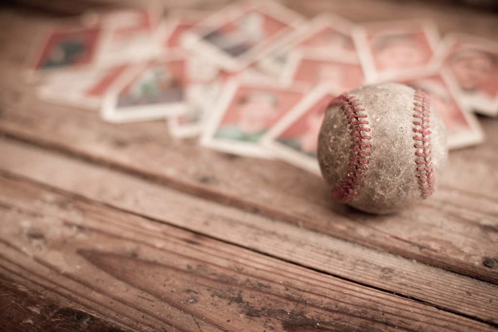
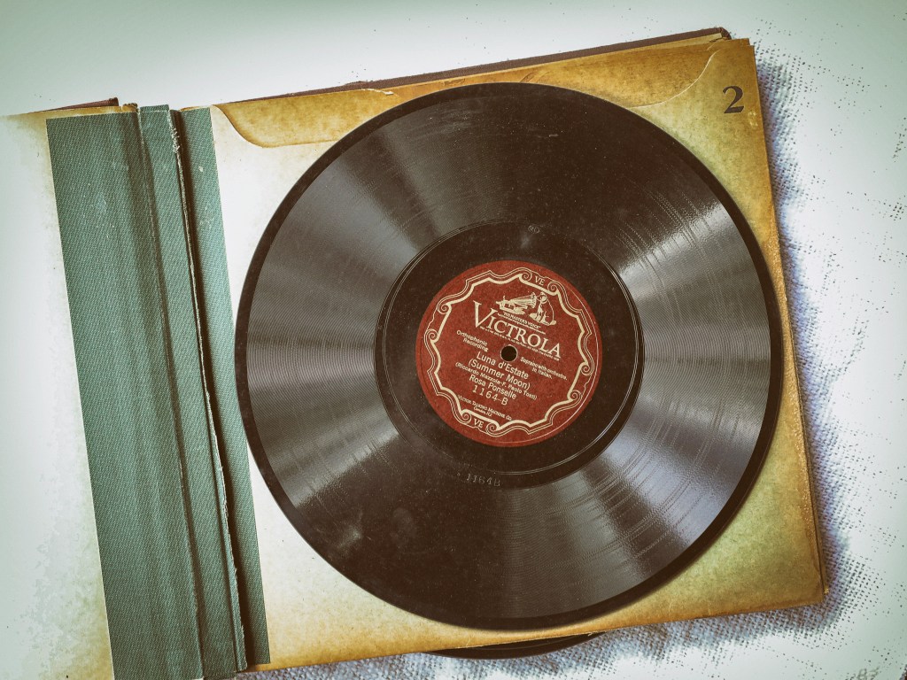
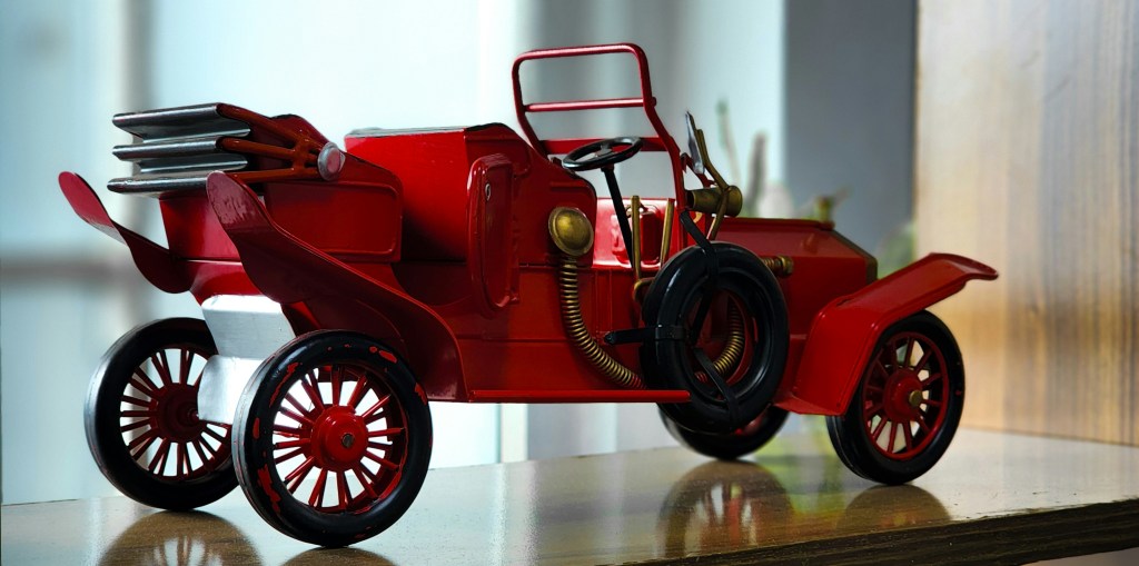
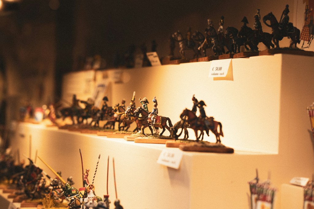
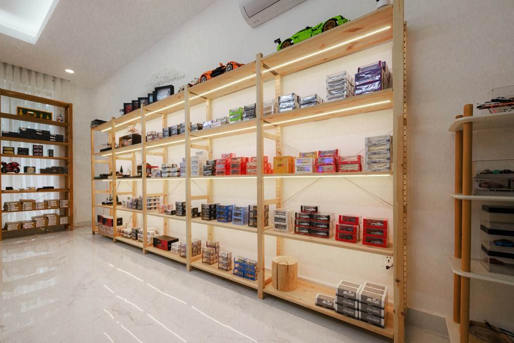
When damage, theft, or loss affects a collection, insurance becomes the safety net collectors rely on. Understanding how collectibles claims work helps collectors respond quickly and ensures the process moves as smoothly as possible. In the world of collecting, whether it’s rare coins, comic books, antiques, sports memorabilia, vintage toys, or fine art, the value of your collection can be significant both financially and sentimentally. When unforeseen events like damage, theft, or loss occur, having the right collectors insurance can provide essential peace of mind.
Understanding how collectibles claims work is crucial for collectors who want to respond effectively and ensure a seamless recovery process. This guide will delve into the intricacies of collectibles insurance, highlighting the importance of specialized coverage and the claims process that can safeguard your prized possessions.
This is a general guide. You should consult with your insurance provider for specific information on your policy, as specialized collectibles insurance can vary. It’s also advisable to consult subject matter experts for your specific collectibles insurance needs.
The Moment a Loss Occurs
Navigating the claims process for collectibles can seem daunting, but understanding the steps involved can make it easier. Whether an item has been damaged, stolen, or lost, knowing how to proceed can help collectors reclaim their valuable possessions more effectively.
Initiating a claim
The claims process typically begins when a collector discovers that an item has been damaged, stolen, or lost. Prompt action is essential, as quick documentation and notifying your insurance company are often the first steps toward initiating a claim. Being proactive can streamline the process and improve the likelihood of a successful outcome.
Documenting the loss
Gathering comprehensive documentation is crucial when filing a claim. Collectors should make an effort to compile all relevant information, including photographs and videos of the damaged or lost item. It’s important to refrain from making any repairs, as this could affect the claim’s validity. The more evidence a collector can provide, the stronger their case will be.
Reporting theft or vandalism
When items are stolen or vandalized, filing a police report is necessary. This report must include a report number, which should be shared with the insurance provider. Having this documentation underscores the seriousness of the situation and demonstrates the collector’s diligence in addressing the loss.

Step One: Reporting the Claim
Navigating the collectibles insurance claims process can seem daunting, but understanding the essential steps can make it more manageable. Collectors often face unique challenges when dealing with insurance claims due to the specific nature of their valuable items. This guide outlines the key steps in filing a collectibles insurance claim and what to expect throughout the process.
Reporting the claim
The first step in the claims process is reporting the incident to your insurer or agent. Collectors should provide initial information regarding the loss, including a description of the event, the date and time of the loss, and the location where it occurred. This information is critical because it helps insurers determine the applicable coverage and initiate the review process.
Communication with your insurer
Once you report the claim, it is essential to maintain clear communication with your insurer or agent. During this phase, collectors should inquire about deductibles, coverage limits, and the next steps in the claims procedure. Having a thorough understanding of your policy will help you manage expectations and prepare for potential challenges.
Claim number and next steps
After you have reported the claim, your insurer will issue a claim number. This number is important for tracking your claim’s progress and should be referenced in all future communications. Understanding the subsequent steps and timelines will help ensure a smooth claims process and facilitate the timely resolution of your claim.

Step Two: Documenting the Collection Item
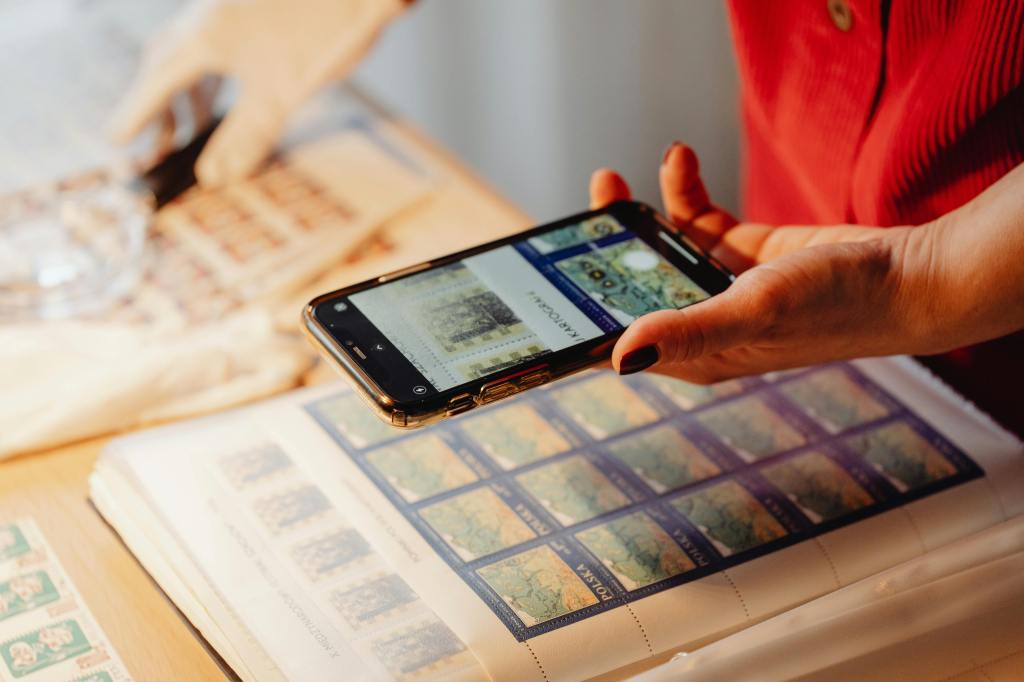
When filing claims for collectibles, proper documentation is crucial. Photographs, receipts, prior appraisals, and inventory records often play a critical role in verifying ownership, condition, and value of the items involved in a claim. Without these documents, proving the legitimacy of a claim can become an uphill battle.
Keeping an updated inventory
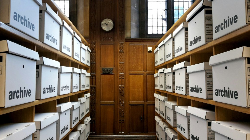
To facilitate the claims process, it’s essential to maintain an organized inventory of your collection. An updated inventory helps in the event of a loss, offering a clear record of what was owned and its estimated value. This document should include detailed descriptions, photographs, and current valuations of each item in your collection. Regularly updating this inventory as you acquire new pieces or sell existing ones ensures that you have a comprehensive overview of your collectible assets.
Appraisals and insurance requirements
Many insurance providers require appraisals for collectibles valued over a certain threshold before offering specialized coverage. An appraisal serves not only to establish value but also to provide an expert evaluation of the item’s condition and authenticity. By obtaining regular appraisals, collectors can ensure their insurance coverage accurately reflects the value of their collection, protecting against potential loss.

Step Three: Claim Evaluation and Investigation
When filing an insurance claim, particularly for collectibles, a systematic investigation is crucial to ensure a fair assessment. Insurance professionals play a significant role in this process, meticulously reviewing documentation and verifying valuations to establish the circumstances surrounding the reported loss.
Role of insurance adjusters
Once a claim is submitted, the insurance company assigns an adjuster to assess the situation. The adjuster is responsible for evaluating the damage by reviewing all relevant documentation and determining the extent of the damage incurred. This thorough evaluation also includes calculating the policyholder’s estimated payout. Collectibles insurance typically uses adjusters with expertise in rare items to evaluate damage or loss accurately.
Importance of organization
The claims investigation can be a time-consuming process, leading to frustration for those awaiting compensation. To streamline this procedure, it’s essential for claimants to be organized. Keeping comprehensive evidence of damages, repair estimates, receipts for any temporary repairs, and photographs can significantly aid the claims process.
Communication and record-keeping
Effective communication with insurance professionals is key throughout the claims process. It’s advisable to keep a detailed record of all interactions, including the names of individuals spoken to and any requests made. This documentation can be invaluable in ensuring that all necessary information is provided to facilitate a timely resolution.

Step Four: Valuation and Settlement Options
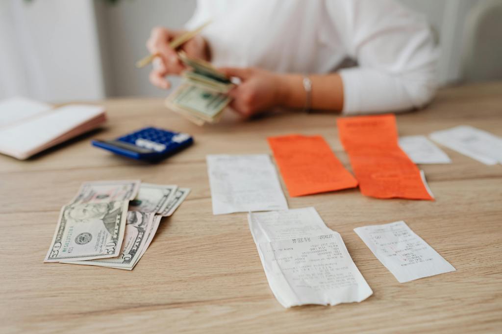
Once a claim is validated, the settlement process begins. Insurers utilize the terms specified in the policy to determine the appropriate compensation for the claimant. This process is crucial for ensuring that policyholders receive fair and just reimbursement for covered losses.
Settlement process
After the claims adjuster has completed their evaluation, the insurer will issue a settlement based on the findings. This assessment considers the damage sustained, the policy terms, and any deductibles that have been met. It is essential for policyholders to review this settlement against their policy to ensure accuracy and fairness before proceeding.
Factors influencing compensation
The type of compensation offered can vary significantly depending on the policy’s coverage. Insurers may provide compensation through repair, replacement, or financial reimbursement, which is typically based on the item’s insured value. This flexibility allows for a tailored approach to each claim, ensuring that the unique circumstances surrounding the loss are adequately addressed.
Restoration vs. total loss
In the settlement process, the insurer may consider options for professional restoration of damaged items. However, if the damage is deemed beyond repair, the insurer may classify the item as a total loss. Understanding this distinction is critical, as it can significantly influence the type of compensation a policyholder will receive following a claim. Always seek clarity from your insurance agent if there are questions regarding the outcome of your claim.

The Importance of Specialized Collectibles Coverage
Standard homeowners’ insurance policies often fall short when it comes to protecting valuable collectibles. For serious collectors, specialized coverage can offer a more effective safety net, encompassing a broader range of risks related to theft, damage, and transit. This approach ensures that collectors can safeguard their treasured items without compromise.
Limitations of homeowners insurance
Many collectors find that standard homeowners’ insurance provides only limited protection for their collectible items. Unless specific items are listed (or scheduled) in the policy, coverage typically ranges from $500 to $5,000. While homeowners’ insurance may offer some coverage, specialized collectibles insurance can provide more comprehensive protection for the entire collection. This specialized insurance often includes broad coverage, which may encompass accidental damage, mysterious disappearance, and natural disasters.
Additionally, many homeowners’ insurance policies impose sub-limits on claims for certain categories of items, potentially leaving collectibles underinsured. This limitation emphasizes the importance of reviewing and understanding the specifics of your existing homeowners’ policy before relying on it to protect your valuable collections.
Benefits of a collectibles insurance policy
While the costs of specialty collectibles insurance may seem high to some, many collectors consider the expense reasonable for the peace of mind it provides. In exchange for a modest premium, collectors can secure full-value coverage that extends protection beyond what a standard homeowners policy provides, making it a worthwhile investment for safeguarding their prized possessions.
- Low or No Deductibles: One of the most significant advantages of specialized collectibles insurance is the often low or nonexistent deductibles. This feature allows collectors to receive the full insured value for their items in the event of a claim.
- Automatic Coverage for New Acquisitions: Many policies include automatic coverage for newly acquired pieces, providing immediate protection for a set period (typically 1-90 days) as collectors’ collections grow.
- Claims Process: Specialty collectibles insurance provides coverage based on a predetermined value agreed upon at policy signing. This ensures collectors are fairly compensated for the true value of their collectibles, if needed.

Preventing Claims Through Proper Risk Management
Many collectors take proactive steps to mitigate risks associated with their valuable items. Implementing secure storage, environmental protections, and thorough documentation can safeguard collections and streamline claims for loss or damage.
Documentation
Documentation is crucial for organizing and securing a collection. Detailed records aid inventory management and protect assets. Creating an encrypted, password-protected digital folder is a great way to organize firearm records. Regular backups help prevent data loss. Each entry should include descriptions, provenance, essential documents such as Certificates of Authenticity, market values, purchase details, storage locations, and photographs. Utilizing cloud storage enhances security and access while protecting against physical damage.
Regular appraisals
Regular appraisals are equally essential, as collectibles tend to appreciate in value. It is advisable to have collectibles reappraised every 3 to 5 years to keep up with market changes. This practice helps maintain accurate coverage and protects collectors from potential underinsurance, ensuring they are adequately prepared for any changes in market value.
Environmental protection
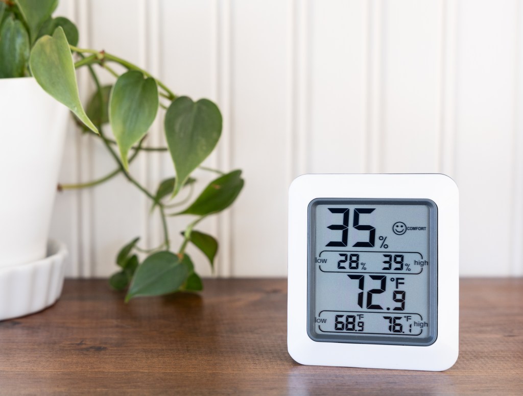
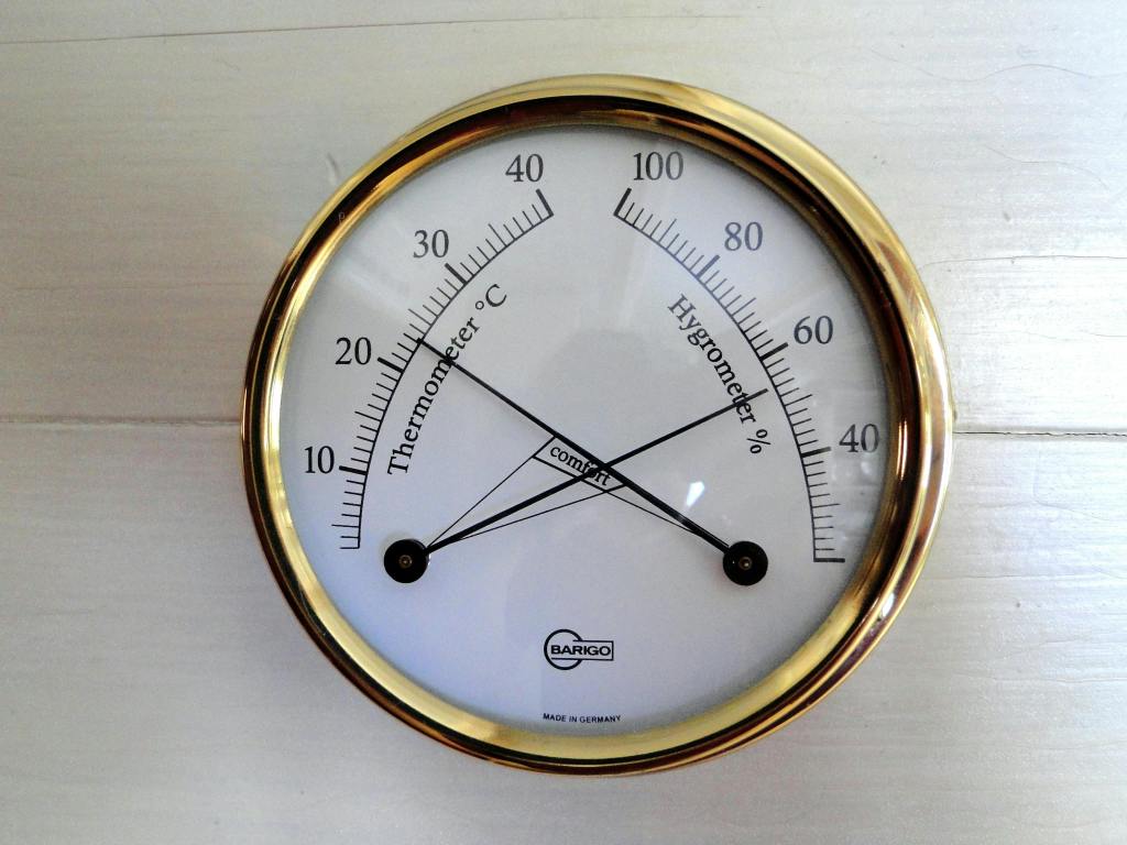
The way collectibles are stored and displayed significantly influences their preservation. Using UV-filtered glass is an effective measure to shield items from harmful sunlight. Furthermore, implementing moisture-control measures, such as humidity regulators, helps prevent deterioration caused by excess moisture. Secure storage solutions and proper display methods are necessary to minimize the risk of physical damage.
Security measures
Integrating security enhancements, such as alarms and surveillance systems, can significantly improve the safety of collectibles. These features deter theft and may lower insurance premiums, as insurers recognize the reduced risk associated with enhanced security. Implementing a comprehensive security strategy is a vital step in protecting valuable collections from potential threats.
How the Collectibles Market Influences Insurance Claims
As the value of collectibles continues to grow, insurers are increasingly recognizing the importance of specialized coverage tailored to collectors’ unique needs. The rising demand for memorabilia and rare items has made insurance an essential component of responsible collecting practices.
Collectibles insurance protects these valuable items against risks such as theft, damage, or loss. Understanding how collectible claims work is crucial for collectors, as it helps them navigate the reimbursement process and ensures they receive fair value for their treasured possessions in the event of a claim.

The Collector’s Takeaway: Preparation Makes Claims Easier
Having a thorough collection documentation and a suitable insurance policy significantly streamlines the claims process for collectors. By grasping how these claims function, collectors can effectively safeguard their high-value collectibles and investments, ensuring peace of mind and financial security. Engaging with the right insurance tailored for collectibles protects assets and empowers collectors in the event of unforeseen circumstances.
This article is intended for informational purposes only. Collectibles Insurance Services, LLC, its parents, affiliates, and anyone connected with them are not responsible or liable in any way for your use of the information contained in or linked to from this article. Reliance on the information provided in this article is solely at your own risk. If you have questions about any of the topics addressed in the article, please contact a subject-matter expert.
FAQ
What documentation is most helpful when filing a collectibles insurance claim?
The most helpful documentation is anything that proves what you owned, what condition it was in, and what it was worth before the loss. This usually includes photos, receipts, prior appraisals, inventory records, certificates of authenticity, and any notes about provenance or purchase history.
For high value items like fine art, rare coins, sports memorabilia, or vintage toys, the stronger your records are, the easier it is for an adjuster to review the claim. A simple inventory that stays updated over time can make a major difference when you need to show ownership and value quickly.
How long does the collectibles insurance claims process typically take?
The timing can vary based on the policy, the type of loss, and how much documentation is available. A straightforward claim with clear photos, receipts, and inventory records will usually move faster than one that requires additional research, valuation, or expert review.
If an appraisal is required after a loss, it often happens soon after the claim is filed, sometimes within 48 hours, depending on the insurer and the situation. The best way to avoid delays is to report the claim promptly, keep damaged items available for review, and avoid repairs until the insurance company gives guidance.
Do specialized collectibles policies handle claims differently than homeowners insurance?
Often, yes. Home insurance is usually designed around general household property, which can create limits for collectibles, especially when items are rare, fragile, or difficult to replace.
Collectors insurance and collections insurance are built more specifically around valuable items. Depending on the policy, this may include agreed value coverage, automatic coverage for new acquisitions, and additional coverages for risks such as accidental damage, transit, or mysterious disappearance. Agreed value can be especially helpful because the insured value is set in advance, which may reduce uncertainty during the claim process.
Sources
https://www.oreateai.com/blog/navigating-the-insurance-maze-a-guide-to-requesting-coverage/e9d743492309a39f2ad1490eebb763fa
https://www.chubb.com/us-en/individuals-families/products/valuables/your-collections.html
https://distinguished.com/blog/collectibles-insurance-coverage-for-all-of-your-clients-personal-collections/
https://www.jacqueperry.com/resource-center/insurance/unexpected-collectors-protecting-your-passion
https://distinguished.com/blog/private-collectibles-insurance-for-sports-memorabilia/
https://www.cornerstoneins.ca/the-new-era-of-collecting/
https://www.insurancebusinessmag.com/ca/news/property-insurance/canadian-collectors-are-increasingly-insuring-their-assets-as-the-market-for-memorabilia-expands-567227.aspx
https://americancollectors.com/insurance/collectibles/
https://www.minico.com/why-collectors-need-more-than-homeowners-insurance-a-must-read-for-agents
https://distinguished.com/blog/collectibles-insurance-coverage-for-all-of-your-clients-personal-collections
https://www.rate.com/insurance/resources/what-kind-of-insurance-do-i-need-for-collectibles-and-artwork/
https://legalclarity.org/how-to-claim-insurance-step-by-step-process-explained/
https://insightfulcoverage.com/how-to-file-an-insurance-claim/