The Timeless Appeal of Antique Globes and Maps
The Timeless Appeal of Antique Globes and Maps
From the dawn of time, maps have been a way to help us navigate the world, from the crude early maps found in cave paintings to the GPS devices that we use to navigate in the modern day and age. Antique globes and maps are interesting because they document how our understanding of the world around us has evolved over the years.
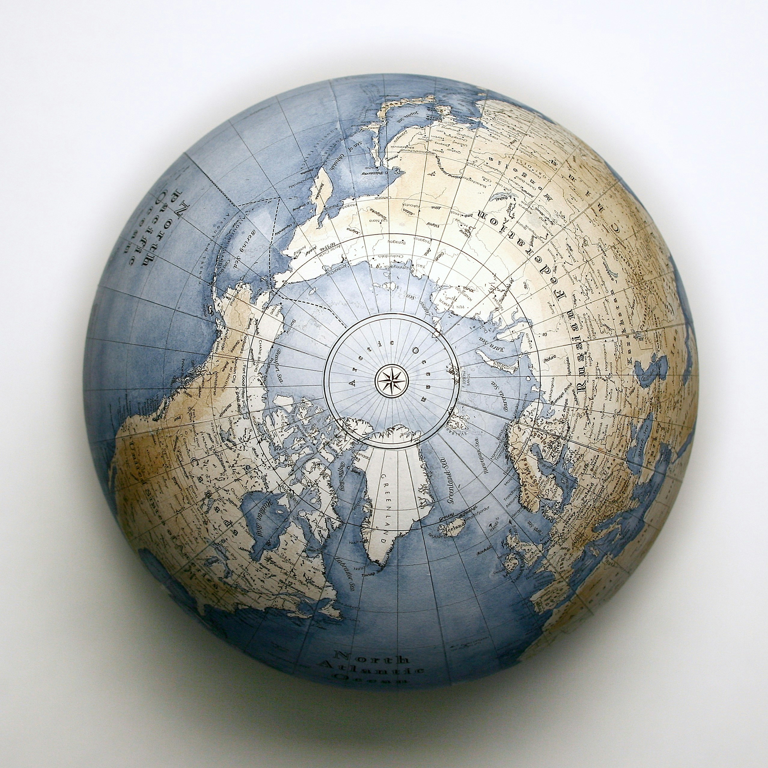
From the flat maps of the early days, which gave way to globes which depict our earth as it truly is, maps have a fascinating and storied history. It’s no wonder that so many people – and museums – view them as valuable pieces of history worth preserving and collecting.
Follow along as we explore the history of cartography, a few of the iconic maps that made contributions to our understanding of geography, how experts preserve and care for maps to ensure their survival, how to find antique maps for your collection, and much more!
Mapping Through the Ages: The History of Cartography
Since prehistoric times, maps have been made to help explain the lay of the land. From the maps of earlier cultures, drawn on bones or in caves, to the digital GPS systems of today, maps have come a long way since their inception. Some of the earliest crude maps have turned out to be maps of hunting areas, routes, or even the stars! Early maps don’t account for the shape of the earth, the way that later maps and globes do, because at the time the earth being round wasn’t common knowledge.
The importance of cartography, or map-making, as a science came about in the days of ancient Greece. Some folks that had a huge influence in early cartography and geography were Ptolemy, Herodotus, Anaximader, and Eratosthenes. The first person to create a map of the known world was Anaximander. Pythagoras of Samos hypothesized about a spherical earth, with a central fire at it’s core.
The Roman Empire utilized maps for military and administrative purposes. This was important to them as they sought to maintain control of their empire, and needed to determine their boundaries.
During the Middle Ages, mapmaking traditions were expanded upon by Muslim scholars. They typically followed Ptolemy’s map making method, but they also incorporated their own knowledge of the world.
Cartographers became influential with the introduction of the printing press. As people began to colonize new areas of the world, the need for accurate maps was at the forefront. A huge advance in cartography arrived in 1569, when Mercator’s first maps were published. These were later improved upon by Abraham Ortelius in 1570.
Modern mapmaking after the industrial revolution evolved as the concept of traveling for pleasure began to grow. Maps became portable and more practical, as well as more accurate. As railroads spread throughout the world, cartographs made an effort to include these in their map making.
Today, technology has had a huge impact on map making. Modern maps are digital, and GPS tools make them easy to keep updated. As technology continues to advance, it makes one wonder where mapmaking will go next! Despite the fact the paper maps are practically extinct, we believe that an old map will always hold value as a piece of history.
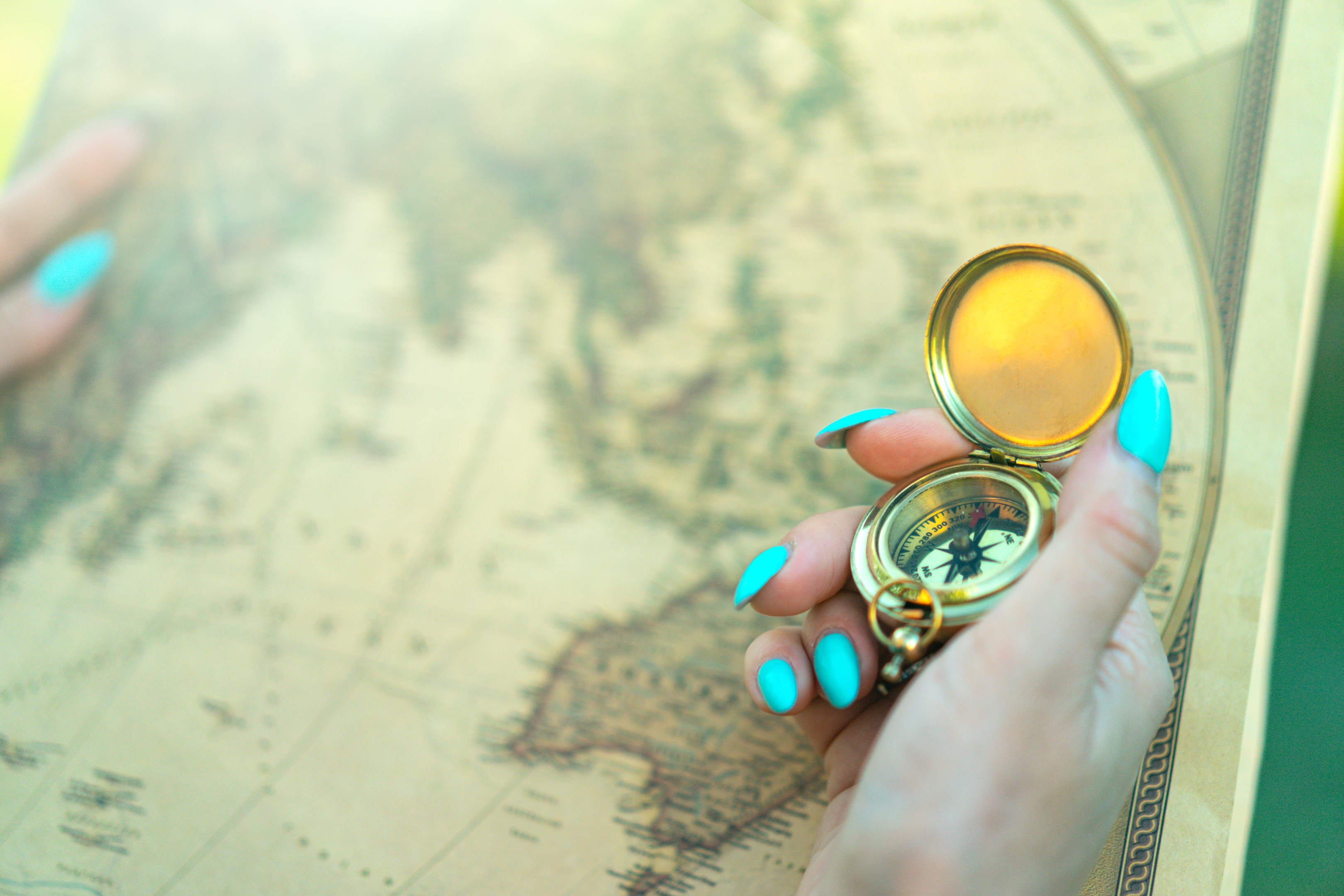
Navigating the World: A Beginner’s Guide to Antique Globe & Map Collecting
Get started on your journey into antique globe and map collecting with this beginner’s guide! Here are some tips and tricks that every map collector should be aware of.
Understand the Terminology
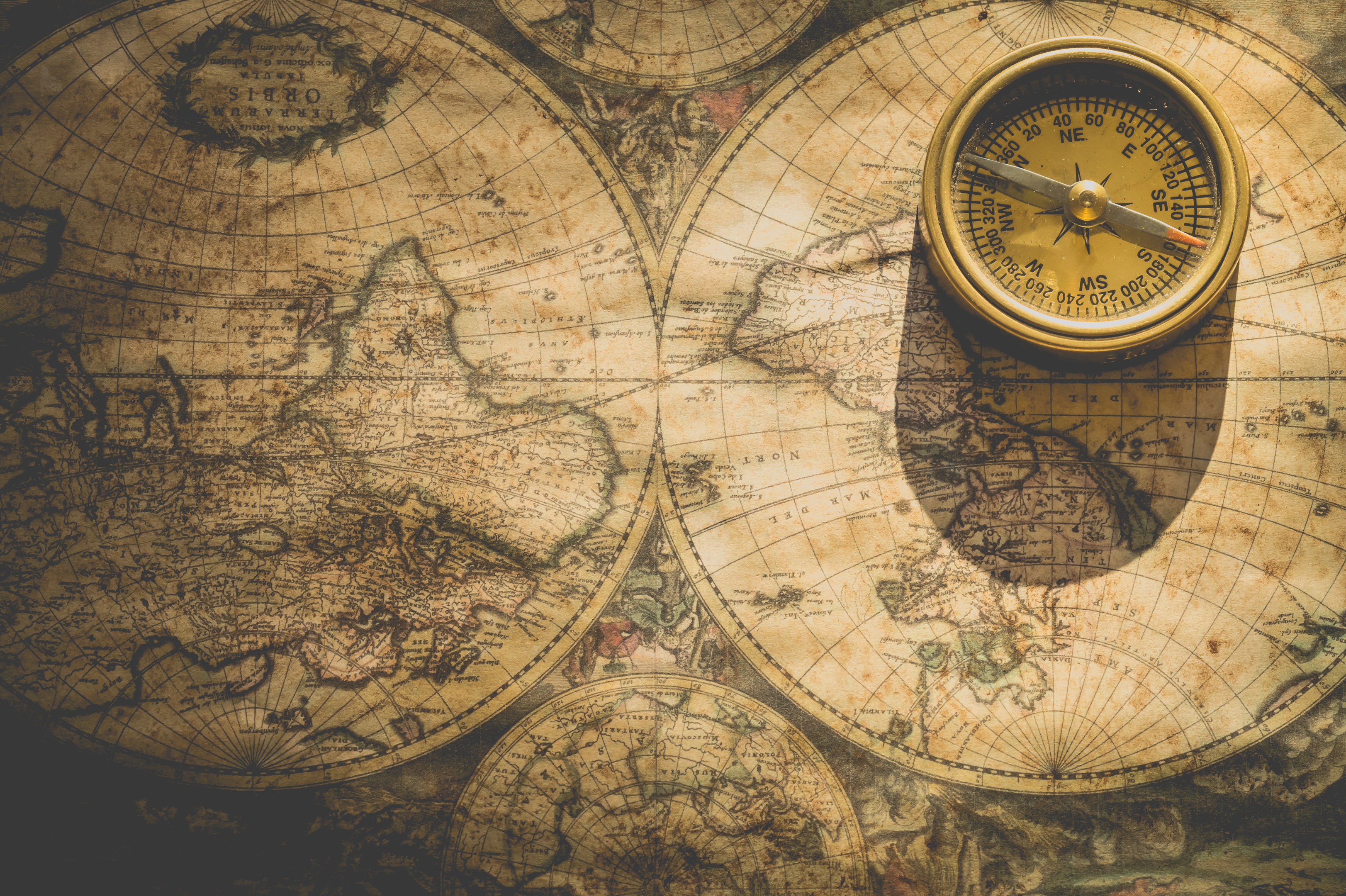
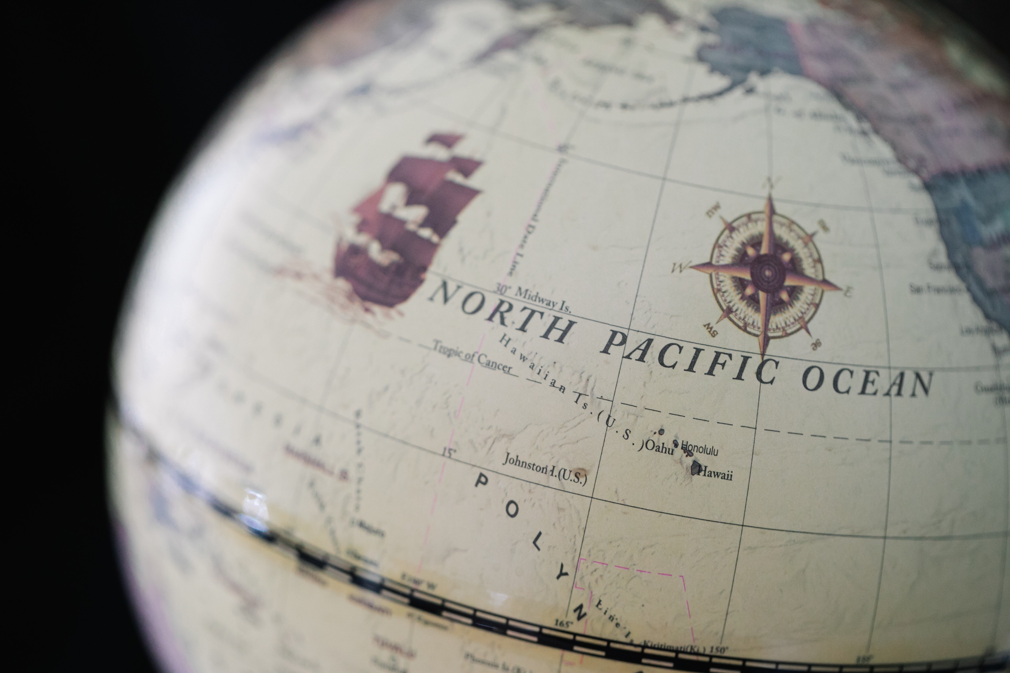
Antique and rare maps use many specialized terms, and familiarizing yourself with them will help you understand the maps better. Terms include the Compass Rose, the Plate Mark, the Signature, and the Centerfold.
Understand Various Printing Methods
Printed maps have been around since the invention of the printing press in 1439. Over the years, there were three main printing methods used to produce maps. The first was relief printing, where all the areas without ink were cut away, creating a raised impression. The intaglio method is the opposite of the relief method, etching the design into the paper so that the places without ink are raised. The planographic method, also called lithography, is where an images is drawn onto limestone or metal with a wax crayon. The surface is then made wet and inked, leading to a flat surface.
Understand How Paper Has Changed
Learning the history of paper can help you identify any reproductions or facsimiles. Handmade laid paper was the paper of choice until the late 18th century. This paper was made using a wire screen mold, which often contained a watermark to identify the paper mill. On this paper you will see chain lines that are characteristic of laid paper. You’ll also see long fibers, which make the paper harder to tear, as well as a textured and uneven surface.
Wove paper was invented in the 18th century, and this used a fine wire mesh mold which made for a smoother surface. The invention of the papermaking machine came about in 1807, and produced a demand for less expensive paper. This led to wood pulp paper, which was cheaper to produce and created an even smoother surface. This unfortunately was easier to tear, which means that maps from this time period were quite fragile, and the existing ones are often in poor condition.
Condition is Important
The condition of an antique maps will have a huge impact on it’s value, so take this into consideration when growing your collection. Often, a map’s condition can be improved upon with professional restoration, which we discuss in further detail later in this blog post.
Known How to Determine Authenticity
An antique map collector should watch out for restrikes, reproductions, and forgeries. A restrike is a much later edition of a map that was created from the original plate, and is usually on different paper and will have a notation indicating a restrike. A reproduction is made for decorative purposes and printed on modern paper. A forgery is a fake map that is being passed off as genuine. Be sure to examine your maps carefully, comparing them with the original and using a magnifying glass to examine details.
Take Care of Your Collection
If you are a collector of antique or rare maps, you are now in charge of protecting a small portion of history. Be sure to take good care of the maps in your possession, storing them properly, caring for them well, and keeping them out of direct sunlight to ensure they are protected for posterity.
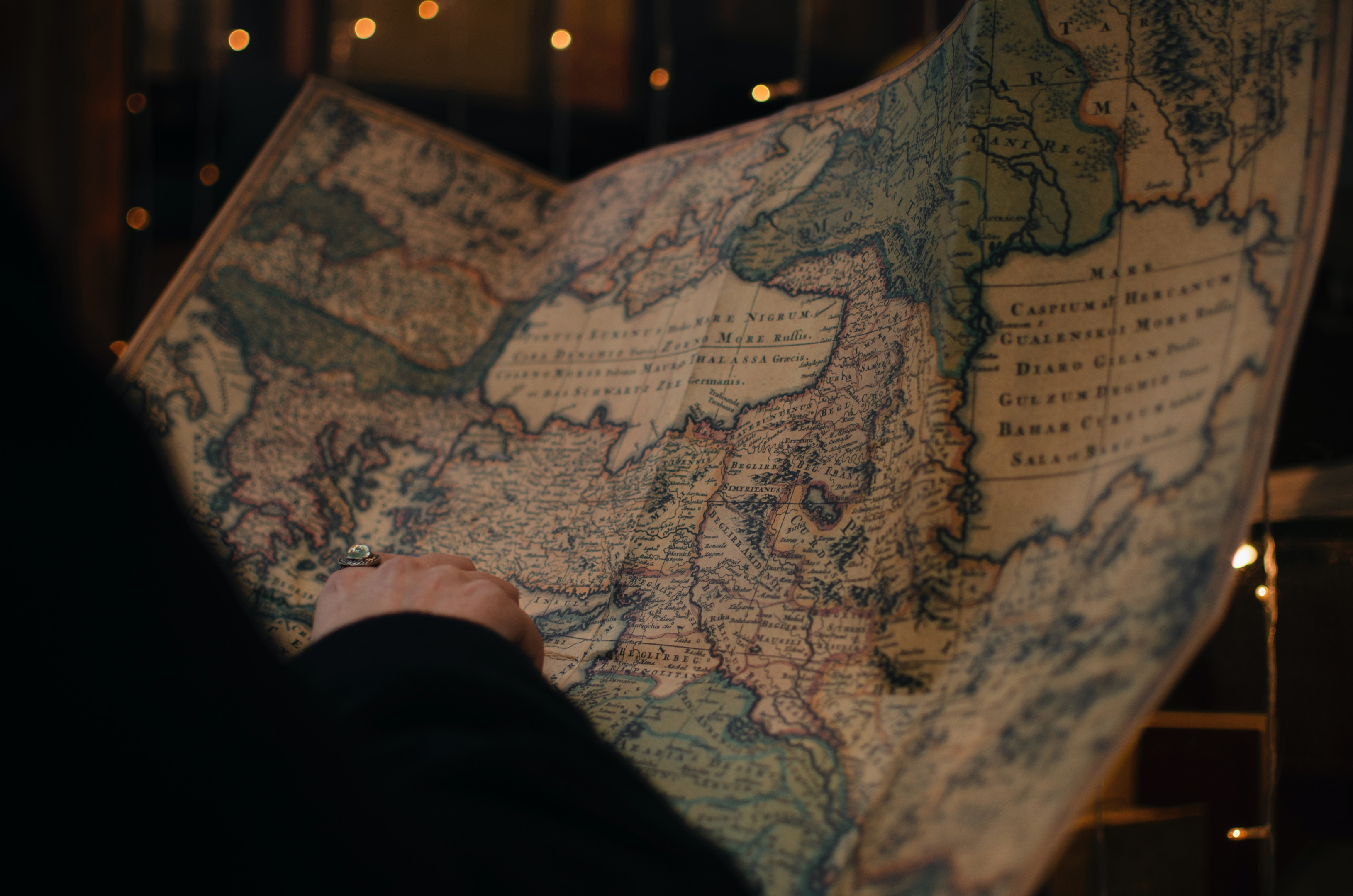
Masterpieces of Exploration: Iconic Antique Globes and Maps
Some of the earliest maps are etched permanently in history for the unique role that they have played in helping to understand the earth’s geographical features. Follow along as we discover a handful of historic maps that have influenced antique cartography.
Ptolemy Map
This ancient map is important for it’s part in Roman expansion. Around 150 AD, Ptolemy wrote his Geographica, which contains a system of latitude and longitude and a unique way of describing locations on earth. Although his original maps have been lost, cartographers were able to recreate other maps from his work from how descriptive he was.
Tabula Rogeriana
Al Idrisi drew this ancient map of the world along with well-researched text that discusses geography in depth, including ethic groups, socioeconomic features, and more. The maps describe the earth as being spherical, and they break up the earth into 70 rectangular pieces.
Hereford Mappa Mundi
“Mappa mundi” is a term used to describe medieval European maps of the world. The Hereford Mappa Mundi is the largest medieval map that exists, and it is also drawn and colored meticulously. The map is a circle, with Jerusalem at it’s center and the Garden of Eden near the top.
Fra Mauro Map
Created by monk Fra Mauro around 1450 AD, this is one of the best pieces of cartography from medieval times. It’s painted on vellum, which is stretched over a wooden frame. The map depicts the known world, including Europe, Asia, and Africa.
Mercator Map
This map is renown for being the first world map to try to capture the roundness of the earth on a flat surface. The resulting map was a great tool for navigating the oceans and seas. It allowed ships to chart a course more easily.
1602 Ricci Map
This map was also called the “Impossible Black Tulip.” It was created by Matteo Ricci, a Jesuit priest, in 1602. This map depicts China as the center of the world, and is the oldest surviving map in Chinese that shows the Americas.
Discovering Hidden Treasures: Where to Find Antique Maps and Globes
Wondering where you can go about finding antique maps or globes to add to your collection? A good start in your map hunting quest is to look for them in auction houses.
You can find some incredible antique maps online on eBay or at Sotheby’s auction house, where their map specialists sell maps and atlases in online auctions, as well as in-person auctions in London, New York, and Paris.
Their auctions include maps by world class cartographers, including Mercator, Blaeu, Ortelius, Visscher, Verbiest, Speed, Mauro, Gastaldi, Huang, de Jode, and Munster.
There are also specialized websites that sell antique and vintage maps. Check out UniqueMaps.com or RareMaps.com for some special finds.
Behind the Parchment: Unveiling the Craftsmanship of Antique Maps
Beyond being tools for navigating, antique maps are also quite beautiful, with considerable thought being poured out into their design. It is for this reason that many people collect and display antique maps. They are admirable for their utility, their craftsmanship, and their unique beauty.
Past: Antique Globe and Map Conservation Techniques
Antique maps and globes are typically quite fragile, which means that preserving them for posterity requires careful, and some expert, care. Most pieces are on paper, which is a vulnerable material. Paper maps face a variety of hazards that could cause damage, including UV rays of the sun, high humidity, high temperatures, atmospheric particles, acidic framing materials, fire or water damage, and decay.
Expert conservationists will restore pieces by gently washing them in a variety of solutions tailored to the specific needs of that document. This can help to remove discoloration and restore the piece to it’s original glory.
Conservationists also frame pieces in conservation-grade materials, which are designed to protect the piece from any further damage.
The Value in Time: Appraising and Investing in Antique Maps and Globes
If you are looking to uncover the value of your old maps or globes, you may want to take them to an expert near you for an appraisal. However, there are some online alternatives that should help you discover what your particular map is worth.
Take a look at OldMaps.com, which provides a database of maps, globes, and atlases and their respective values in their map price guide. You can also browse online auction websites to get an idea of what similar maps are selling for.
The Globe-Trotter’s Delight: Antique Globes and Maps as Home Décor
If you are a collector of antique maps, you may want to put your unique collection on display in your home. The benefit of displaying these maps is that they will quite literally give your home décor that coveted “traveled” look that is often found in bohemian homes.
As your maps may be fragile, be sure that you are displaying them in a safe way. You can frame your maps behind glass to keep them from dust and dirt. You may want to keep your maps out of direct sunlight, as this can cause fading and decay.
Consider putting aside a special room to display your maps and globes, kind of like a miniature museum. Select a space that doesn’t get too much natural light and display your maps in frames or in glass casing so that they are visible for people to enjoy, and yet still protected.
FAQ:
What are some essential tips for beginners in antique globe and map collecting?
Understand map lingo, learn the history of different printing methods and types of paper, and keep your maps in great condition so that they can be enjoyed for generations to come.
How can I preserve and maintain the condition of my antique maps and globes?
Store your maps carefully, using acid-free materials for framing or storage. If needed, take your map to a professional for restoration or conservation.
Where can I find reputable sources for appraisals and investments in antique maps and globes?
OldMaps.com provides a database of maps, globes, and atlases and their respective values in their map price guide. You can also search on Google for professionals near you.
Sources
https://www.sothebys.com/en/sell/books/maps
https://www.gislounge.com/mapping-through-the-ages/
The UK’s National Conservation Company
About Collectibles Insurance Services
Collectibles Insurance Services has been protecting collections since 1966 and all coverage is provided by a carrier with a group rating of “A” (Excellent) by AM Best, the leading rating agency for the insurance industry.
Comprehensive coverage includes, but is not limited to: accidental breakage, burglary, fire, flood, loss in the mail, theft, natural disasters, and other causes of loss unless specifically excluded from the policy. Deductibles start at $0 for collector policies and we provide coverage for the market value of your collection for losses in excess of $50.
Additionally the protection extends At home and away, and we don't require collection itemization and serial number nor extensive paperwork and red tape.